








Featured Weather
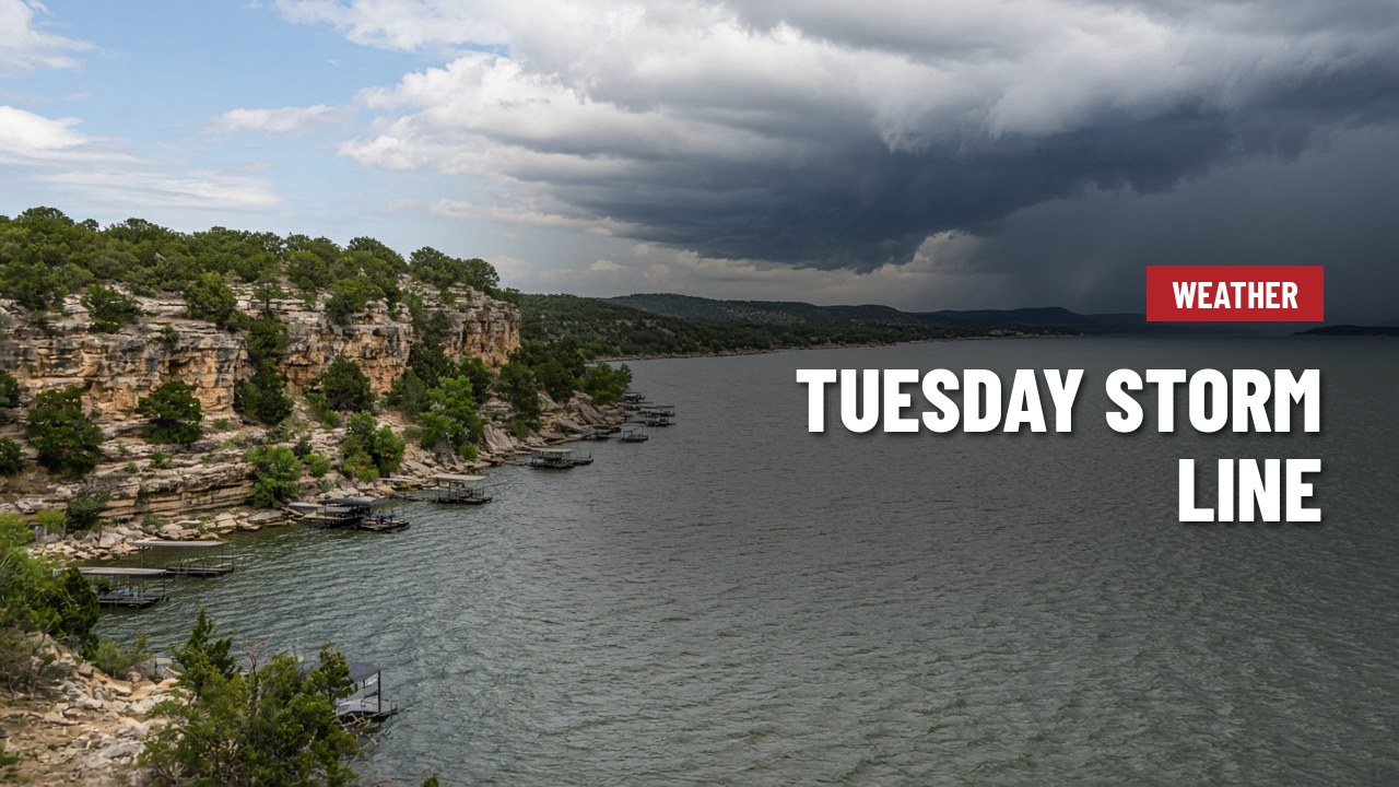
Line of storms expected Tuesday morning at Lake Travis, with a few strong storms possible and 40s behind the front
Sunday and Monday stay warm and humid around Lake Travis, with low clouds and patchy fog in the mornings and afternoon highs in the mid-80s. Monday turns breezy out of the south, so plan on some chop if you're heading out on the water.
The National Weather Service office for Austin and San Antonio expects a cold front to sweep through overnight Monday into Tuesday morning, pushing a line of showers and storms ahead of it. Forecasters say there's enough wind shear and instability for a few isolated strong to severe storms, mainly with damaging wind gusts and possibly some large hail. Areas along and northwest of I-35, which includes the lake, are in a level 1 of 5 severe weather risk.
Rain should end quickly once the front passes and winds swing around to the northwest. Drier air follows for the middle and end of the week, with Hill Country mornings dipping into the 40s, mild afternoons and mostly sunny skies. Tuesday is Election Day, so it's worth packing a rain jacket if you're voting in the morning.
Source: National Weather Service Austin/San Antonio forecast discussion








