








Featured Weather
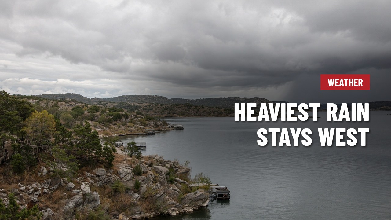
Late-week rain now looks heaviest far west of Lake Travis, with lighter totals near Austin
The rain that's been building in the forecast for Thursday and Friday is still coming, but the latest outlook from the National Weather Service in Austin/San Antonio pushes the heaviest totals farther west than earlier forecasts suggested. Today and Wednesday should bring only a few isolated showers.
Forecasters expect a soaking band of rain Thursday into midday Friday over the Edwards Plateau, with storm totals of 1 to 2 inches and isolated spots near 4 inches well west of the Hill Country. Amounts taper off quickly heading east, and the I-35 corridor may see only a few hundredths to about a quarter inch. The Lake Travis area sits between those zones, so local totals will depend on how far east the rain band reaches.
Highs stay mild, mostly around 80, all week. Locally heavy rain is still possible Thursday and Friday, so if you're out on the water or driving low-water crossings, keep checking the forecast.








